World's End Trail Run, Llangollen (18.8 km)
A circular trail run to World's End from Llangollen — about 18.8 km of rocky ridges, moorland tracks, and wide views over the Dee Valley.
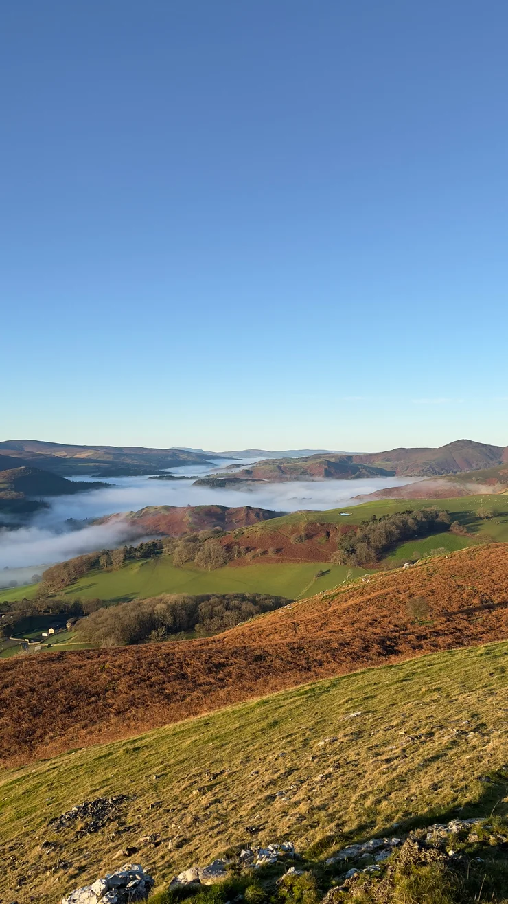
World’s End is the longest trail running loop I have from Llangollen in north Wales: 18.8 km up onto the Eglwyseg escarpment, across the moor behind it, and down to World’s End itself before turning for home. It climbs roughly 740 metres, so World’s End is a half-day rather than an evening run — longer and harder than Barber’s Hill or the short circuit up Castell Dinas Bran.
The route
Wales - Llangollen - Worlds End
- 19 km
- 741 m
- 492 m
Works in Komoot, AllTrails, Garmin & most hiking apps.
The loop runs anticlockwise: out on the east side of Llangollen, north along the ridge, and back down the Eglwyseg valley.
- Start and finish: Llangollen town centre
- Distance: About 18.8 km (11.7 miles)
- Ascent: Roughly 740 metres, from 78 m in the town to 492 m on the moor
- Terrain: Field paths, a rocky limestone ridge, moorland tracks and valley lanes — boggy on the moor after rain, greasy on the rock
Up to Eglwyseg Rocks
There is no flat start. The path works up the hillside past Castell Dinas Bran, touches 320 metres inside two kilometres, then hands ninety of them straight back down the eastern side before setting off again. From there the ground rises almost unbroken to the high point of 492 metres at around seven kilometres. Eglwyseg Rocks fill the view for most of it: a stepped wall of carboniferous limestone with scree fans that have been spreading at its foot since the last ice age.
Across Ruabon Mountain to World’s End
Above the cliffs the gradient relents and the ground turns to heather and peat — wide stony tracks over Ruabon Mountain, which has been managed as a grouse moor on and off since the 1800s. You run past the butts: banked horseshoe scoops, set out in lines roughly fifty metres apart. The tracks fork often and the moor gives you nothing to steer by once cloud is down, so check the map before committing to one. Behind you the Dee Valley opens out, and on a cold morning it can lie under mist while the moor is in sun.
World’s End comes at about eleven kilometres, where the valley pinches shut under the crags of Craig y Forwyn, Craig y Cythraul and Craig yr Adar. The single-track road over the moor from Minera drops in here and fords the Eglwyseg River, and the Offa’s Dyke Path passes through on its way off the crags and out onto the moor. The route turns south.
Back down the Eglwyseg valley
Then it runs downhill for a long time, on lanes and field paths, with Eglwyseg Rocks holding the skyline across the valley to the left and horses and hill cattle grazing the fields either side. It is not all downhill, though: the valley bottoms out at about fourteen kilometres and there is another eighty metres to gain before Castell Dinas Bran reappears and the last stretch tips down into Llangollen.
Treat the ridge with respect in the wet, where the limestone turns greasy and the ground near the edge is loose. Otherwise World’s End needs water, about three hours, and a day clear enough to read the moor.