Castell Dinas Bran Hike, Llangollen (4.5 km)
A short hike from Llangollen up to Castell Dinas Bran — about 4.5 km, roughly 300 metres of ascent, and a thirteenth-century ruin at the top.
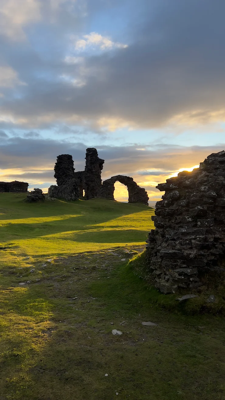
Castell Dinas Bran stands above Llangollen in north Wales, and this short hike climbs to it from the town centre. Castell Dinas Bran dominates the Dee Valley from every direction, and the same start serves Barber’s Hill across the River Dee and Velvet Hill further up the Dee Valley. The hike covers about 4.5 km and climbs roughly 300 metres, and over a third of that is gone inside the first kilometre.
The route
Walles - Llangollen - Castle Dinas Bran
- 4.5 km
- 295 m
- 320 m
Works in Komoot, AllTrails, Garmin & most hiking apps.
Waymarked paths reach Castell Dinas Bran from the south-west and the north-east, and this hike uses both, so the lowest kilometre gets covered twice.
- Start and finish: Llangollen town centre
- Distance: About 4.5 km (2.8 miles)
- Ascent: Roughly 300 metres, from 78 m in the town to 320 m at the walls
- Terrain: Steep grass and field tracks, muddy and slippery after rain or snow
Up to Castell Dinas Bran
Llangollen Bridge and the River Dee come first, then the Llangollen Canal a couple of hundred metres in, and the signed path starts on the far bank. The gradient bites there and stays hard for most of a kilometre. Then the path swings east across the northern slopes and gives back twenty-five metres, which feels like a mistake until it turns and climbs again. The eastern end comes at about half distance, and above it the path zigzags up through the earth-and-stone bank of the older hillfort to the walls.
From the top of Castell Dinas Bran
Castell Dinas Bran was built in the 1260s by Gruffudd ap Madog, lord of Powys Fadog, burnt in 1277 by its own Welsh defenders rather than handed to an English force, and given up for good after 1282. A stone curtain wall still traces the court, about eighty metres end to end, and the path comes in at the east, where the gate was flanked by a pair of towers. A rock-cut ditch runs outside the wall on three sides; on the north it stops, because the ground there ends in crags instead — worth knowing before stepping back for a photograph.
Llangollen lies south below the walls along the River Dee, with the Llangollen Canal on the slope above it and the Llangollen Railway heading west up the valley. Behind Castell Dinas Bran the Eglwyseg escarpment is pale carboniferous limestone, a different rock from the dark Silurian shale underfoot, and the Offa’s Dyke Path takes that line north to World’s End.
Back down to Llangollen
The descent loses 240 metres in 1.8 kilometres, west off the summit and then south through fields grazed by sheep and cattle. It rejoins the outward path at the 187-metre contour, and from there the last kilometre repeats the first in reverse, back down to Llangollen Bridge.
References
- Coflein: Castell Dinas Bran ruined castle record
- Coflein: Castell Dinas Bran earthwork enclosure record
- Clwydian Range and Dee Valley National Landscape: visiting the castle
- Clwydian Range and Dee Valley National Landscape: Dee Valley area guide
- Offa’s Dyke Path National Trail route description
- Canal & River Trust: Llangollen Canal waterway guide
- Heneb, the Trust for Welsh Archaeology: Dinas Bran historic landscape character area
- Llangollen Railway: history of the heritage line