Snowdon Hike from Pen-y-Pass (12 km)
A circular hike from Pen-y-Pass to the summit of Snowdon, up the Miners' Track and down the Pyg Track — about 12 km, climbing roughly 860 m.
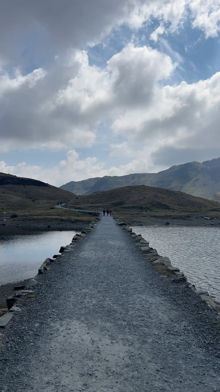
Snowdon is 1,085 m high and Pen-y-Pass starts at about 360 m, which makes this the shortest ascent of Snowdon that does not involve buying a train ticket. The loop is about 12 km and climbs roughly 860 m, going up the Miners’ Track and coming back over the Pyg Track. Neither needs a head for heights, so Snowdon is where a lot of people in Wales do their first serious day of hiking. For something gentler in Eryri, the Llyn Elsi run from Betws-y-Coed makes a good warm-up; over on the north coast, the Great Orme walk is a different kind of climb above the sea.
The Snowdon loop from Pen-y-Pass
Pen-y-Pass sits on the A4086 at the head of the Llanberis Pass, and the car park is small enough that it has to be booked in advance.
Wales - Pen-y-Pass - Snowdon
- 12 km
- 861 m
- 1083 m
Works in Komoot, AllTrails, Garmin & most hiking apps.
- Start and finish: Pen-y-Pass car park, booked ahead in season
- Distance: About 12 km (7.5 miles)
- Ascent: Roughly 860 m
- Terrain: Gravel, stone steps, and loose rock higher up — steep in places, but no scrambling
If the booking has gone, park at Nant Peris and take the Sherpa’r Wyddfa bus up the pass instead.
Climbing Snowdon by the Miners’ Track
The Miners’ Track was built for the copper workings rather than for walkers, which is why it begins almost level: a wide stony track past Llyn Teyrn and along the shore of Llyn Llydaw, over the causeway laid across the lake in 1853, then past the ruined crushing mill of the Britannia Copper Mine. It stays gentle until Llyn Glaslyn, where it turns into a steep zigzag of loose rock and stone steps. It joins the Llanberis Path at the Bwlch Glas standing stone, and Snowdon’s summit cairn is another ten or fifteen minutes from there, alongside the railway.
Down the Pyg Track
The Pyg Track leaves from the same junction and stays high above the cwm, rockier underfoot than the Miners’ Track but shorter, with the ridge of Crib Goch across to the north for much of the descent off Snowdon. That ridge is a scramble and no part of this route. The last stretch down to the car park is stone steps, and knees notice it.
Weather and timing
Snowdon spends a good deal of the year in cloud, and it was in cloud for us — the photographs below stop having a view somewhere above Glaslyn. Check the Met Office mountain forecast rather than the valley one, carry a layer more than the car park suggests, and start early. Both of Snowdon’s tracks are busy on summer weekends, and Snowdon in poor visibility is not the place to be working things out.