Llyn Elsi Run, Betws-y-Coed (6 km)
A short running loop from Betws-y-Coed up to Llyn Elsi and back — about 6 km of forest track and reservoir views.
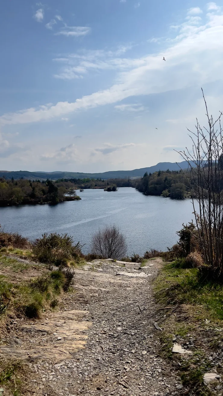
Llyn Elsi sits in the Gwydyr Forest above Betws-y-Coed, in north Wales, and the climb up to it makes a good short run — about 6 km, with a little over 200 metres of ascent. Betws-y-Coed is better known for full mountain days, and Llyn Elsi asks for rather less than one: an hour or so, back before breakfast. For the big day out, Snowdon from Pen-y-Pass is the classic climb nearby; further north, Llandudno’s Great Orme trades forest tracks for the coast.
The Llyn Elsi run
Llyn Elsi is signposted from St Mary’s Church, and the climbing starts more or less at once.
Wales - Betws-y-Coed
- 6.2 km
- 300 m
- 249 m
Works in Komoot, AllTrails, Garmin & most hiking apps.
- Start and finish: St Mary’s Church, in the middle of the village
- Distance: About 6.2 km (3.9 miles)
- Ascent: Roughly 230 m
- Terrain: Forest tracks and stony paths — steady going up, quick coming down
Through the Gwydyr Forest
The Gwydyr Forest is a working plantation on old mining ground, and the tracks up to Llyn Elsi are wide and well graded, easy to run once the legs accept the gradient. Waymarks are frequent, junctions more so, and it pays to know which colour you are following. After rain the stonier sections hold water and the roots turn slick, so trail shoes with some grip earn their place. Nothing more technical is needed.
The reservoir and the memorial
Llyn Elsi is not a natural lake. There were two of them up here until 1914 — Llyn Rhisgog and Llyn Enoc — and a dam put both under one surface to fill the taps in Betws-y-Coed. Somebody judged this worth carving into granite. A stone above the water thanks Lord Ancaster for granting the village the right to drink it, which is a very local sort of pride, and at 250 m it makes the obvious excuse to stop running.
Beyond the stone the skyline to the north-west belongs to the Carneddau and the Glyderau. Snowdon is not among them: Moel Siabod stands exactly where it ought to be and keeps it to itself. What Llyn Elsi gives instead is water, conifers, and ridge behind ridge — no famous summit, and nobody queuing for one.
Coming back down
Llyn Elsi rewards a lap of its shore before you turn for home, which adds about a kilometre of level running on a good path. The descent into Betws-y-Coed then makes up whatever the climb cost you, and it lands within a few minutes of the Pont-y-Pair bridge and the cafés — the other argument for going early.