Barber's Hill Run, Llangollen (8.9 km)
A circular run over Barber's Hill from Llangollen — about 8.9 km, with three flat kilometres of canal towpath before roughly 300 metres of climbing.
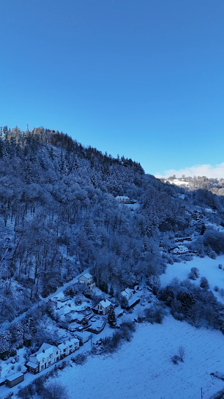
Barber’s Hill stands south of the River Dee at Llangollen, in north Wales, and this 8.9 km circular run does not go near it for three kilometres. The Llangollen Canal runs out of Llangollen dead level as far as Berwyn, so all 300 metres of the climb come late. That makes it shorter than World’s End and steeper per kilometre than Velvet Hill.
The route
The loop runs clockwise: west on the towpath, south up Barber’s Hill, then east along the high ground and down into town.
Wales - Llangollen - Barbers Hill
- 8.9 km
- 303 m
- 272 m
Works in Komoot, AllTrails, Garmin & most hiking apps.
- Start and finish: Llangollen town centre
- Distance: About 8.9 km (5.5 miles)
- Ascent: Roughly 300 metres, from 79 m by the river to 272 m at the highest point
- Terrain: Llangollen Canal towpath for three kilometres, then field and woodland paths, steep and slippery after rain on the descent
Out to Berwyn
The Llangollen Canal holds a level line west for three kilometres, narrow and wooded in places with the Dee running below it. Near the Chain Bridge Hotel the towpath joins a roadway briefly, which is the one place on the flat worth slowing for. Berwyn station ends it: the Llangollen Railway keeps an 1865 station here with a mock-Tudor stationmaster’s house, wedged in the gorge between the river and the A5, and a six-arch viaduct carries the line on west of the platform.
Up Barber’s Hill
The climb starts at the station and takes about 150 metres out of the next two kilometres, through small irregular fields low down and broadleaved woodland and scrub on the steeper ground above. It keeps going after that, on and off, to 272 metres. The name is the English of Moel y Barbwr, and Llangollen Museum records the hill taking it from Thomas Edwards, a barber gibbeted up here in 1739 for the murder of his wife; before that it was Moel y Geraint. From the high ground the Dee Valley opens out below, with Castell Dinas Bran on its cone across the river, fifty metres above the highest point of this run.
Back down to Llangollen
The high ground runs east for a kilometre and a half before it tips over, and the last two kilometres give back every metre of the climb. Field paths drop steeply, the footing is uneven, and after rain or frost this is not the descent to chase a time on. It lands by the Dee for the final few hundred metres into Llangollen. Three flat kilometres, one long climb, and a descent that does not ease until the river.