Catbells Walk from Keswick (19 km circular)
A 19 km circular walk from Keswick over Catbells — the eastern side of Derwentwater as far as Grange, the climb from Manesty, and the western lakeshore back through Portinscale.
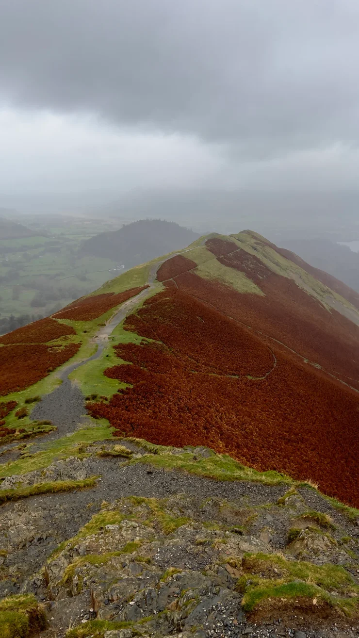
Catbells is a 451-metre fell above the western shore of Derwentwater, and the National Park calls it one of the most popular in the Lake District. This 19 km circular walk reaches it the long way round: south from Keswick down the eastern edge of the lake to Grange, up from Manesty to the summit, and back through Brandelhow and Portinscale. Keswick is also the answer to the Catbells trailhead parking, which the same page describes as extremely limited. In Wales, Snowdon from Pen-y-Pass packs more ascent into 12 km; in England, the Bath Skyline is a flatter 8.8 km.
The Catbells walk
Most of the day runs level beside Derwentwater, and over half the ascent arrives in the two kilometres between Manesty and the summit.
England - Lake District - Keswick
- 19 km
- 649 m
- 450 m
Works in Komoot, AllTrails, Garmin & most hiking apps.
- Start and finish: the Derwentwater lakeshore at Keswick, by the Theatre by the Lake car park
- Distance: about 19 km (12 miles)
- Ascent: roughly 650 m, most of it in a single pull
- Terrain: lakeside paths and woodland tracks at either end, a steep fell path in the middle, rocky ground near the summit
Down Derwentwater to Grange
The first seven kilometres never leave the 80-metre contour. Friar’s Crag comes inside the first kilometre, and Catbells is the fell you are looking at across the water from it. The path then runs south to Lodore, crosses the footbridge at Grange, and turns west for Manesty.
Up Catbells
Catbells begins in earnest at Manesty, at kilometre eight. The path gains 370 metres in a shade over two kilometres and meets the ridge at Hause Gate, leaving 80 metres of height to the 451-metre summit. Skiddaw and Keswick fill the view north, Borrowdale runs away south, and the Newlands Valley sits behind.
Beyond the summit the path drops north over Skelgill Bank, the lower top before Hawes End. This is the rocky part — Ordnance Survey’s route notes suggest using your hands near the summit, and Keswick Mountain Rescue lists Catbells among its local accident blackspots, where the injuries logged are ordinary slips rather than anything technical. In this direction you meet that ground on the descent.
Brandelhow and Portinscale
The path lands at Hawes End, doubles back south along the flank of Catbells, and drops to the water at the Low Brandelhow landing stage. Brandelhow Park was the first place in the Lake District to be given protection, bought by the National Trust in 1902. Six flat kilometres of path and lane then run north through Portinscale and back into Keswick.
The Keswick Launch calls at Lodore, Low Brandelhow and Hawes End, all three on this route, so either flat leg can be cut short by boat — the service thins out over winter. Buses run from Keswick both up Borrowdale and round to Catbells itself, though the Catbells one does not operate all year.
References
- Cat Bells access and parking, National Park guidance
- Derwentwater and Keswick visitor overview
- Friar’s Crag accessible walking route
- Keswick Mountain Rescue list of local accident blackspots
- Ordnance Survey walking guide to Catbells and other short fells
- Keswick Launch landing stages and boat service
- Brandelhow Park and the Entrust sculpture, YHA information
- Cat Bells summit, ridge and views, Wikipedia entry