Sant Jeroni Hike, Montserrat (10 km)
A circular hike from Montserrat monastery to the top of Sant Jeroni — about 10 km and 810 m of climbing among strange rounded rock towers.
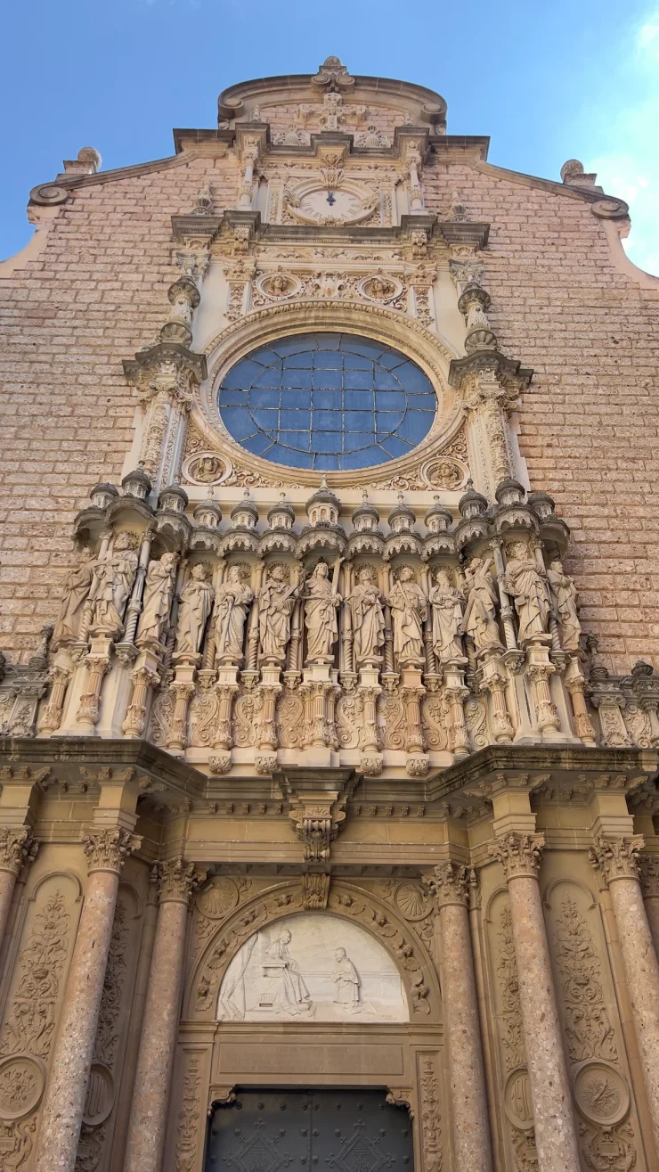
Sant Jeroni is the highest summit of Montserrat, the strange mountain of rounded rock towers an hour inland from Barcelona, in Catalonia. This circular hiking route climbs from the monastery to the top of Sant Jeroni at 1,236 m and comes back down a different way — about 10 km with 810 m of ascent, and one of the best half-day hikes in this corner of Spain. For an easier Spanish day by the sea, see the Palma seafront run; for another big climb with views, Snowdon from Pen-y-Pass is a comparable effort.
The route
Spain - Montserrat - Sant Jeroni
- 10 km
- 810 m
- 1229 m
Works in Komoot, AllTrails, Garmin & most hiking apps.
- Start: Montserrat monastery (about 710 m)
- End: Same as the start (circular)
- Distance: About 10 km (6.5 miles), with 810 m of climbing
- Terrain: Well-marked paths with stone steps, exposed ridges, and some steep sections near the top
Climbing Sant Jeroni
The loop takes the long way up and the short way down. From the start the path climbs steadily for about 6.5 km, winding between the rock towers, with the gradient staying honest rather than brutal until the end. The final stretch is a run of stone steps up to Sant Jeroni itself, and it is worth every one of them. The descent is the steeper side of the loop: roughly 4 km of stone staircases and switchbacks dropping straight back down to where you began.
The summit of Sant Jeroni
Sant Jeroni’s summit is a small railed platform with a full 360-degree view. On a clear day you can see the Pyrenees along the northern horizon and out towards the Mediterranean the other way, with the pinnacles and gullies of Montserrat spread out directly below you — the best viewpoint in Catalonia that you can reach on foot in a morning.
When to go
Sant Jeroni is a popular hike and generally easy to follow, but the upper sections are exposed and the rounded rock turns slippery after rain, so save it for a dry day if you can. Start early: the crowds build from mid-morning, and there is nowhere to refill water once you leave the start. Allow a full morning or afternoon.