Bath Skyline Walk (8.8 km)
A circular walk on the Bath Skyline route — about 8.8 km of meadows, woodland, and views over the city.
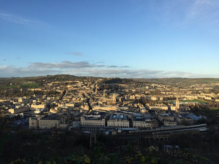
The Bath Skyline is a signed circular walk through meadows and woodland on the hills above the city, with views down to the stone terraces below. I walked the full loop from Claverton Down on an overcast day. At about 8.8 km it is a half-day walk rather than a quick stroll. For a longer English hill day with a lake, try the Keswick and Catbells hike; for a coastal contrast, the Wallasey to West Kirby walk follows the Wirral shore.
The route
Bath Skyline walk
- 8.8 km
- 211 m
- 188 m
Works in Komoot, AllTrails, Garmin & most hiking apps.
- Start: Claverton Down, near the Bath Skyline car park
- End: Claverton Down (circular)
- Distance: About 8.8 km (5.5 miles)
- Terrain: Grass tracks, woodland paths, and some paved sections near the city — rolling hills with steady climbing; can be muddy after rain
The hilltop sections are easy to follow — look for the waymarks and keep the city in view. The woodland stretches need more attention where paths fork, and the descent goes through fields and lanes before rejoining the streets near the river.