Pontcysyllte Aqueduct Walk, Llangollen (14 km)
An out-and-back walk along the Llangollen Canal to the Pontcysyllte Aqueduct — about 14 km of level towpath ending at a cast-iron trough 38 metres above the River Dee.
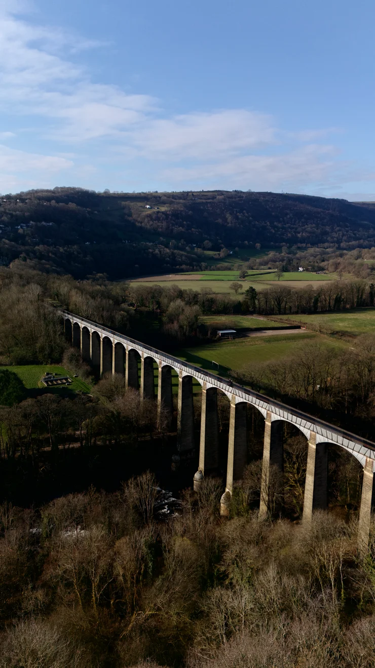
The Pontcysyllte Aqueduct carries the Llangollen Canal over the Dee valley in north Wales, 38 metres above the river. This 14 km walk goes out to the Pontcysyllte Aqueduct along the towpath and comes back along the same towpath, and it climbs almost nothing on the way. For climbing instead, Castell Dinas Bran and Velvet Hill sit above the same valley.
The route
Out and back to the Pontcysyllte Aqueduct, seven kilometres each direction, with the turn at Trevor Basin.
Wales - Llangollen - Pontcysyllte Aqueduct
- 14 km
- 107 m
- 99 m
Works in Komoot, AllTrails, Garmin & most hiking apps.
- Start and finish: Llangollen, at the wharf above the town
- Distance: About 14 km (8.7 miles)
- Ascent: About 20 metres, nearly all of it in the first half-kilometre
- Terrain: Surfaced towpath throughout. On the Pontcysyllte Aqueduct the handrail is on the towpath side only, and the far edge of the trough carries no railing at all
Out along the towpath
Llangollen Wharf is where the towpath starts, and from there it holds one level east to Trevor Basin. The canal is a working feeder as much as a navigation — it takes water off the Dee and sends it to canals further east, and the Canal & River Trust puts the current at two miles an hour, which is quick enough to see against the moored narrowboats. Sheep graze the slopes above the river and ducks work the bank. The Canal & River Trust lists the stretch as accessible in full since the ramp went in at Postles Bridge.
The Pontcysyllte Aqueduct
Thomas Telford and William Jessop finished the Pontcysyllte Aqueduct in 1805: roughly 300 metres of cast-iron trough standing 38 metres over the River Dee, and still the longest and highest in Britain. UNESCO inscribed it in 2009, along with eleven miles of canal either side of it.
It is free to walk across, and it is the one part of the day that wants care. The handrail runs along the towpath edge only. On the far side of the trough there is no railing whatsoever — the canal, then the valley floor, and nothing in between. Cyclists have to dismount and push across, bike on the water side.
Trevor Basin and back
The canal opens out at Trevor Basin at the north end of the Pontcysyllte Aqueduct, and that is the turn. It has a visitor centre and a pay-and-display car park, so the far end works just as well as a starting point. Offa’s Dyke Path meets the canal here too, which makes Trevor Basin a sensible joining point for the national trail. Otherwise it is seven kilometres of towpath back to Llangollen.
References
- Canal & River Trust: walk from Llangollen Wharf to the aqueduct
- Canal & River Trust: Pontcysyllte Aqueduct safety advice
- Canal & River Trust: Trevor Basin visitor centre and parking
- National Trails: Llangollen to Trevor Basin towpath route
- National Trails: Pontcysyllte Aqueduct attraction listing
- UK National Commission for UNESCO: Pontcysyllte Aqueduct and Canal world heritage listing